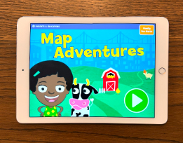
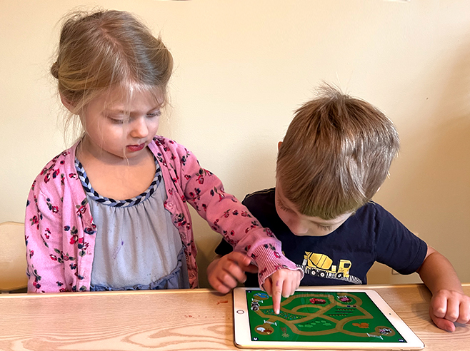
Friends navigate the Farm Map together and visit the animals.
Materials

- Map Adventures digital game on the iPad (one for each pair of children)
Preparation
- Make sure the iPads are charged and Map Adventures is installed.
Directions
- Pass out iPads to pairs of children, and if needed, help them take their pictures at the beginning of the game.
- On the next screen, show children the Farm Map and tap on it. Demonstrate how to navigate the map to visit the animals.
- As children play a few rounds, the navigation and spatial instructions become more advanced. Help children identify the animal that they will visit based on the spatial clues that are given.
- When stars appear on the map to help children find their way. Point these out and help children navigate to collect them on their way to the animals.
- If children are finished playing with the Farm Map, they can choose to play the Landmarks games, which they played in the previous lesson.
- Because Lesson 2 focuses on children understanding left and right, you might ask questions such as: Oh, I see you visited the animal to the right of the tractor! What if the directions said to visit the animal to the left of the tractor? What animal would you visit then?
